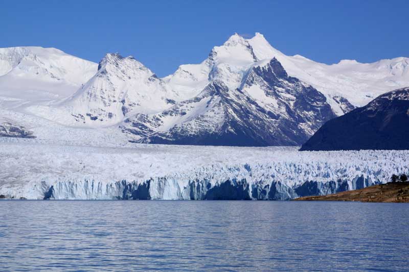
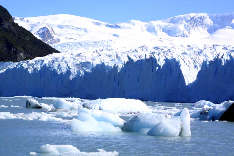
Glaciar Perito Moreno, March 2001 |
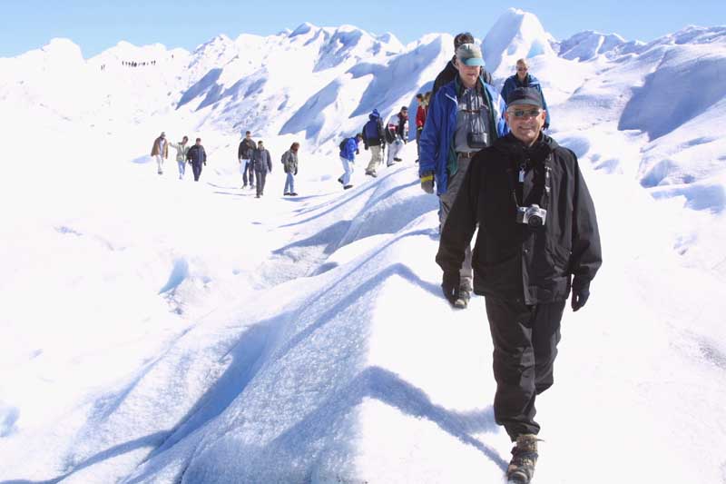
This was my first experience getting up close and personal, not to mention walking on, a glacier. The Perito Moreno glacier, north of El Calafate, flows out of Patagonia's permanent ice cap to the west. In terms of firsts, this was also the first time I had ever used crampons.
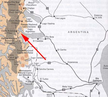
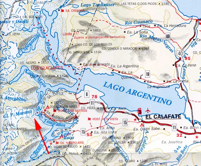
To help you get a feel for the geography, the map on the left will show you where Lago Argentino is located relative to the rest of Patagonia, and the map on the right will show where the glacier is located.
To view a larger image, click on the picture you want to see. Return to this page by clicking on "Back".

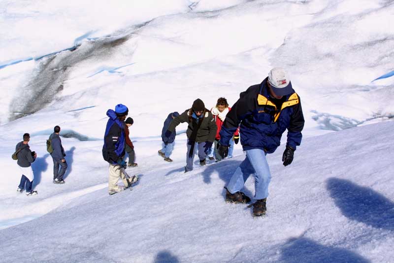
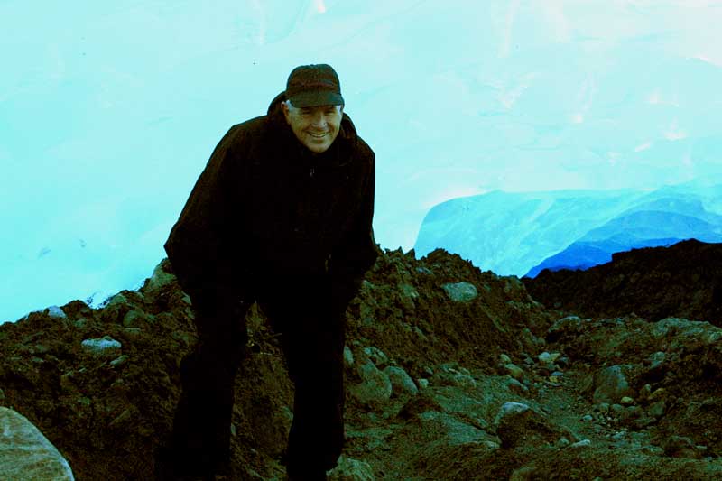
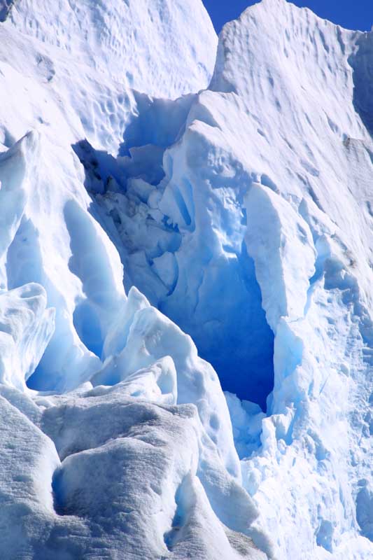
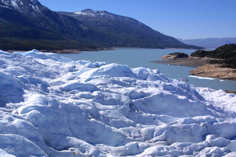
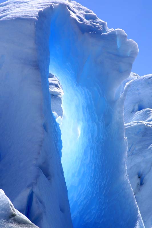
We got next to the glacier, put on the crampons, and then after a few minutes of instruction, started walking up the sloped side. Glaciers are compacted snow rather than hard blocks of ice, so the crampons grip readily. We shortly reached the top. Almost immediately, we reached an ice cave. In that picture, Steve is standing, or rather stooping, in the cave. The last picture shows the view from the glacier, south towards Lago Argentino and El Calafate.

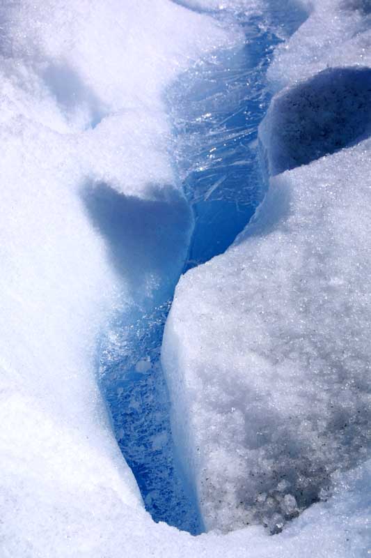
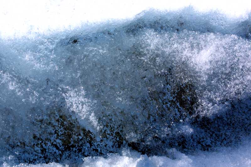
There were numerous small streams which were caused by melting. At night they would partially freeze, so there was a layer of ice over them, strong enough to walk on. In the pictures below, there is running water below the ice.
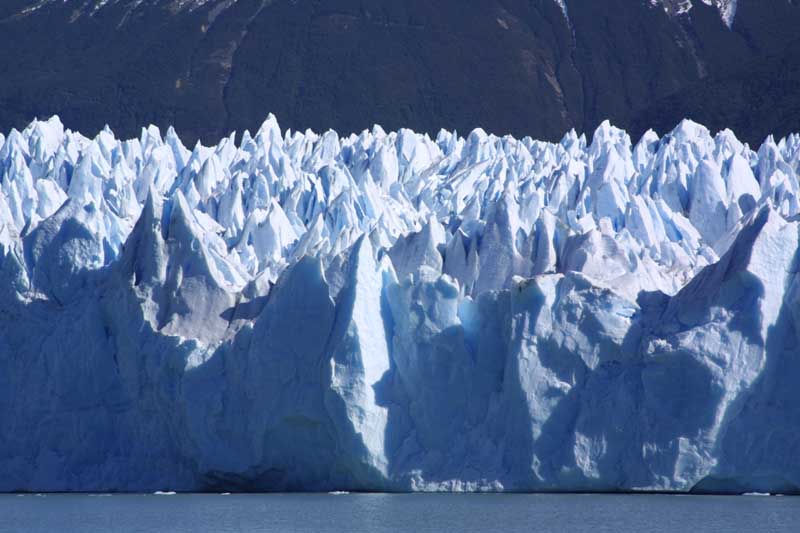
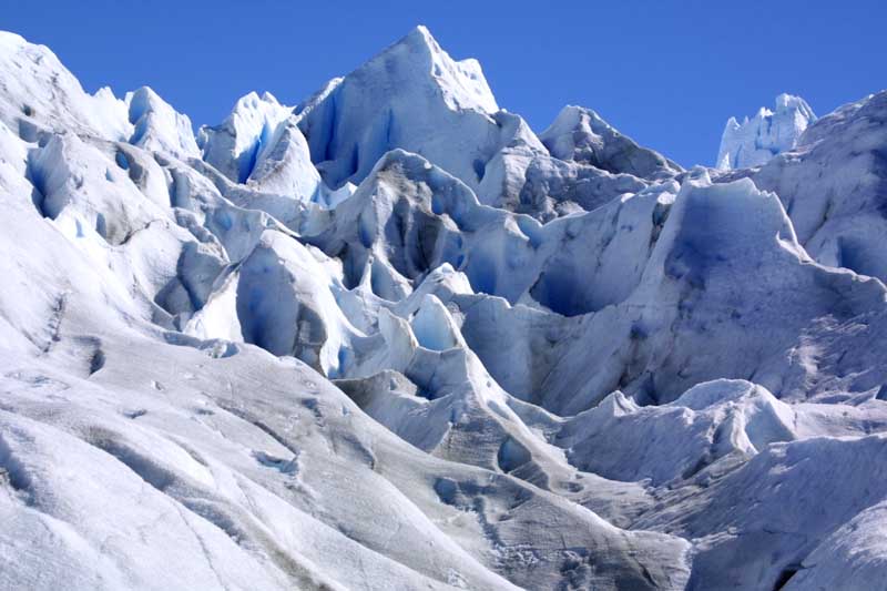
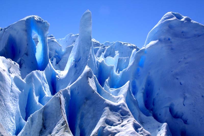
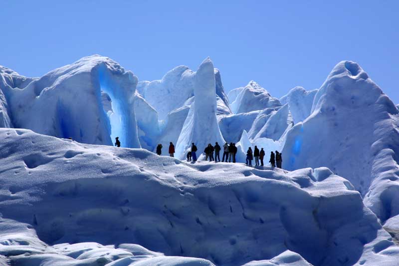
As we continued, we passed deep holes in the glacier, and many interesting formations.

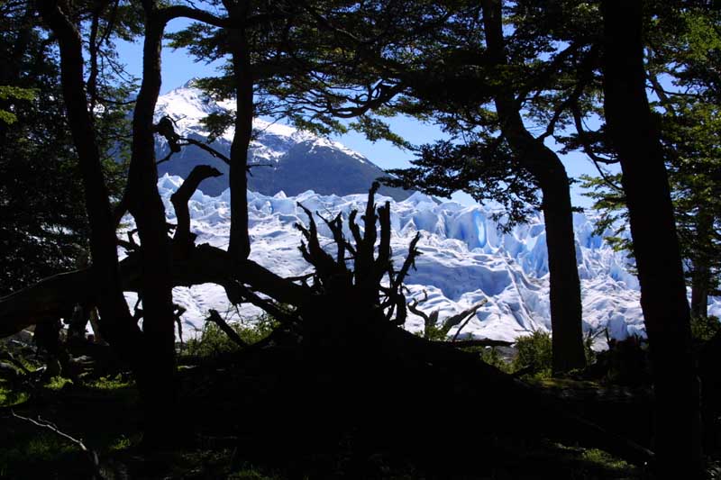
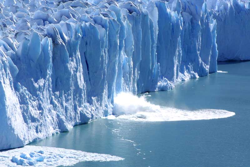
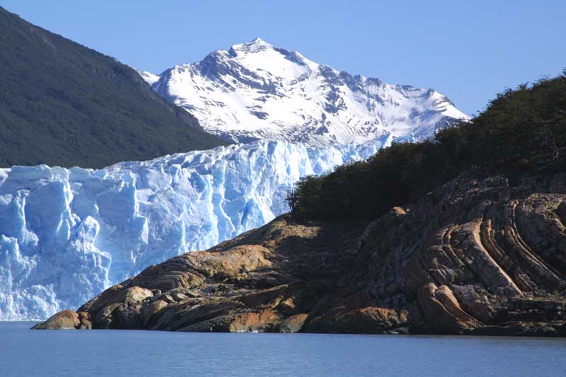
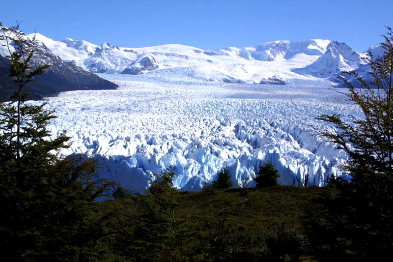
After getting off the glacier, we walked through the woods and were rewarded with this view of it. Finally, from across the way, we got to see the glacier calve.